
 English
 Español
 Deutsch
 日本語
日本語 Polska
 Français
 中國
中國 한국의
한국의 Українська
 Italiano
 Nederlands
 Türkçe
 Português
 Bahasa Indonesia
 Русский
 हिंदी
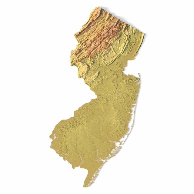
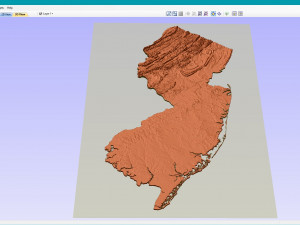
हिंदीNew Jersey Topographic Map STL Model 3D Print Model

- Available formats: stl: stl 373.10 MB
- Collection:No
- Width in millimeters:74
- Height in millimeters:0.8
- Depth in millimeters:141
- Print Ready:
- 3D Scan:No
- Adult content:No
- PBR:No
- AI Training:No
- Views:1615
- Date: 2022-06-17
- Item ID:402330
- Rating:
Create Detailed New Jersey Terrain Models with This High-Resolution 3D STL
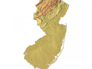
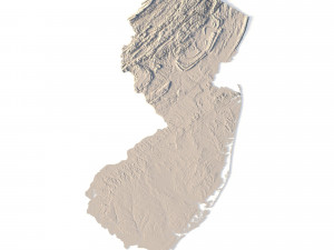
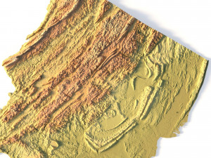
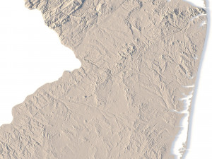
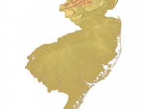
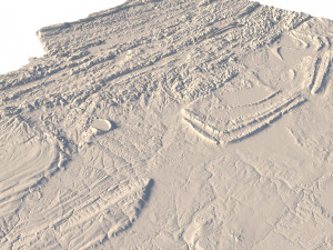
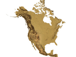
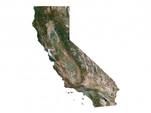
The New Jersey Topographic Map STL model offers a high-resolution depiction of the state’s topography and unique geographic features. This 3D model is perfect for creating physical relief maps using materials like wood, metal, plastic, or concrete. Whether for landform visualization, educational projects, or professional GIS applications, this model provides accurate elevation data for detailed terrain modeling. Ideal for 3D printing, CNC machining, and laser engraving.
- File size: 570 MB / 638 MB
- Model size: 74.13 mm x 140.88 mm x 0.778 mm
- Resolution: 0,03 mm
- Projection: Mercator
- Scaling factor: X — 1; Y — 1; Z — 3
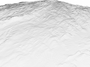
- Polygons: 11 971 088
- Vertices: 6 020 835
- Geometry: Polygonal Tris only
- Base: Open / Closed
Features of the New Jersey Topographic STL Model
Precise elevation data capturing New Jersey’s coastal plains, rivers, and mountains.
Compatible with FDM/SLA 3D printers for high-quality terrain models.
Designed for CNC machining to craft relief maps from wood or metal.
Supports high-precision laser engraving for metal surface detailing.
If you need a different format, please send us a Conversion Request. We can convert 3D models to: .stl, .c4d, .obj, .fbx, .ma/.mb, .3ds, .3dm, .dxf/.dwg, .max. .blend, .skp, .glb. We do not convert 3d scenes and solid formats such as .step, .iges, .stp, .sldprt etc!


